Exploring the marine world is a thrill many cherish, but safety and efficient navigation are paramount. With technology at our fingertips, marine navigation apps offer modern solutions to age-old challenges.
As you think about your next maritime adventure, don’t forget to safeguard your voyage with Coast Insurance—where your marine safety and peace of mind are our top priorities.
Marine navigation and its importance
Marine navigation is the science and art of planning and directing the course of a vessel from one place to another. It’s a critical skill for anyone looking to travel across the water, whether for trade, fishing, exploration, or leisure. Here’s why it’s essential:
Safety: The primary importance of marine navigation is the safety of the vessel and its crew. Proper navigation ensures ships avoid obstacles like reefs, rocks, and other vessels, preventing collisions and groundings.
Economic significance: Ships transport a significant portion of goods globally, making trade routes vital to the world’s economy. Efficient navigation ensures timely delivery and reduces fuel consumption, leading to economic benefits.
Environmental protection: Accurate navigation can prevent environmental disasters. For instance, oil spills from grounded vessels can have devastating effects on marine life.
How apps can help

In today’s digital age, apps have become a valuable tool for marine navigation. Here’s how they contribute:
Real-time data: Apps can provide sailors with up-to-date information on weather, tide, and sea conditions, enabling safer voyages.
GPS tracking: Many apps use global positioning system (GPS) technology to provide precise location details, ensuring vessels stay on course.
Route planning: Modern apps allow sailors to plan routes, taking into account various factors like obstacles, sea traffic, and more. This planning can save time and fuel.
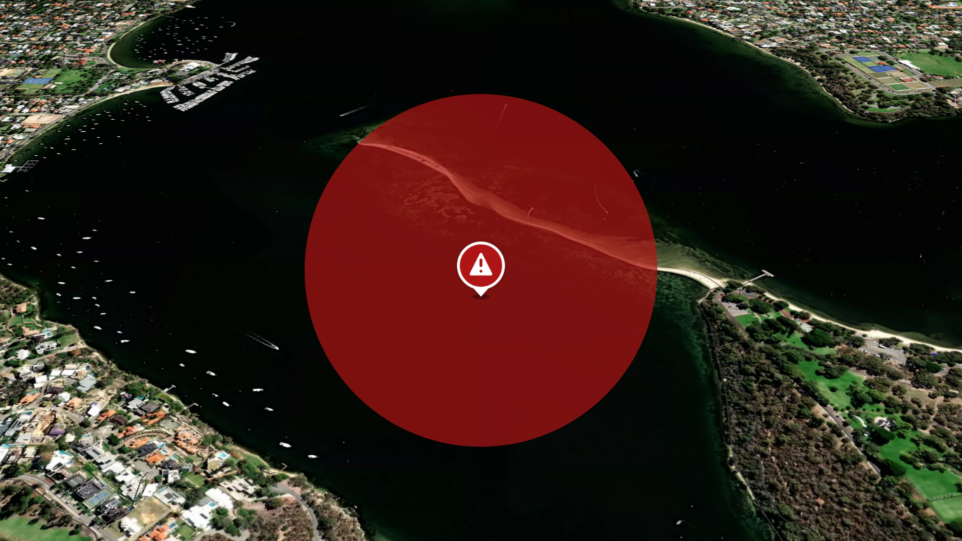
Alerts and warnings: Apps can warn sailors about nearby vessels, potential obstacles, or changing weather conditions, allowing for proactive adjustments.
Educational resources: For those new to marine navigation, apps can offer tutorials, simulations, and other educational resources to help hone their skills.
The best apps to use for marine navigation
There are a few apps that work well in Australia but our current favourite is Deckee—it has great features, it was developed in Australia, and is 100% free! Below we’ve explored seven marine navigation apps (some free and some paid/with paid features) that we think are worth trying out, starting with a deep dive on the app that’s creating a big buzz right now in the boating community.
Deckee: a comprehensive boating app with safety at its core
Deckee is a mission-driven app that blends technological innovation with a passion for marine safety, community engagement, and environmental stewardship.

Why Deckee stands out
Deckee offers an unmatched blend of safety, community, and innovation for boaters around the world. Here’s why:
Australian origins and global expansion: Some marine navigation apps may not be available at all in Australia, and others may be inaccurate or incomplete, omitting crucial details or regions. Developed in Australia, Deckee’s roots lie in understanding the diverse waters of the country. However, its popularity has seen it cross borders to dozens of other countries with plans to expand globally.
All-in-one safety information: Deckee collates safety information and alerts from Australia’s maritime agencies, ensuring boaters are aware of hazards, incidents, or any crucial updates in their vicinity.
Interactive community features:
Deckee harnesses the collective knowledge of its user base, providing real-time insights and fostering collaboration through its interactive community features:
- Community route guidance heatmaps: Instead of relying solely on traditional nautical charts, which can sometimes be outdated or challenging to interpret, Deckee offers community route guidance. This feature uses anonymised, aggregated activity data to display pathways frequently used by others, instilling confidence in boaters, especially in unfamiliar waters.
- Waterway activity reports: Deckee’s data analytics offer insights beyond the usual, assisting stakeholders in making informed decisions.
- Collaborative map editing: Users can add to and edit the map with updates or points of interest, fostering a cooperative spirit among the Deckee community.
Innovative features for enhanced safety:
Deckee prioritises safety with cutting-edge features designed to intuitively address boaters’ unique challenges and requirements:
- On-water detection: The app discerns when users are on the water, sharing their GPS location with chosen contacts or the broader boating community, ensuring visibility even for those without AIS equipment.
- Open water risk forecast: Deckee tailors weather forecasts to individual watercrafts. By considering various weather data and the length of the boat, it helps assess risks, aiding in better decision-making.
- Personalised safety equipment checklist: Deckee demystifies complex safety equipment regulations, guiding users on the necessary equipment based on government regulations, specific to their watercraft and intended navigation region.
Endorsement of Jessica Watson: Deckee not only has the ambassadorship but also the developmental input of Jessica Watson—the extraordinary Australian sailor who made history by sailing solo around the globe at just 16 years old teamed up with Deckee back in 2015.
Safeguarding with the coastguard: Deckee provides an auxiliary ‘log on’ method for coastguard organisations, streamlining waterway activity records and thereby enhancing protection and rescue operations.
Official Deckee safety partnerships: The app invites collaborations with companies, governments, and industry organisations, all in a bid to reduce accidents and lessen the environmental impact of water activities. Several Australian state governments have already partnered as have the Boating Industry Association and the National Safe Boating Council.
User experience highlights
Users have found immense value in what Deckee has to offer:
Trip logging & reports: Users can record their trips and obtain reports, which can be shared with loved ones.
Upcoming features: Deckee’s commitment to continual improvement is evident with plans to introduce even more features in the near future and continue expanding its scope. Its user-inputted data means that the app is constantly developing even without its developers lifting a finger.
Cost factor: Deckee is entirely free, devoid of any hidden subscriptions or in-app purchases, making it accessible to all.
Deckie is available on iOS & Android.
C-MAP
Widely recognised for its intuitive user interface, C-MAP boasts features like downloadable offline charts, auto-routing for optimal paths, and the inclusion of AIS data to view nearby vessels. Moreover, all essential weather information is integrated directly within the app for users’ convenience. iOS & Android.
i-Boating
A versatile app, i-Boating caters to sailing, yachting, and kayaking enthusiasts worldwide, including Australia. The app offers voice navigation, offline access, visual maritime aids, and allows users to create custom routes and waypoints, or use pre-defined ones based on tides and currents. iOS & Android.
Navionics
Providing a smooth navigational experience, Navionics users can benefit from different chart overlays, connect with a community of boaters, utilise auto-routing, and access data on weather and tides. The added functionality of viewing past trip timelines makes it a handy tool for various water activities. iOS & Android.
KnowWake
KnowWake is perfect for those preferring to navigate to specific points of interest, such as marinas and fuel docks. The app simplifies wake zone identification with colour-coding, provides offline access, and features easy routing. iOS & Android.
MarineTraffic
Specialising in live vessel reporting, MarineTraffic offers a plethora of features, from wind forecasts and vessel identification to advanced weather maps. An upgrade to the pro version unlocks even more tools like nautical charts, density maps, and SAT-AIS data. iOS & Android.
Savvy Navvy
Continually expanding its chart coverage, Savvy Navvy offers features such as GPS tracking, marina data, auto-routing, and route exporting. Additionally, comprehensive information on the weather and wind conditions is available. iOS & Android.
How can marine navigation apps enhance your boating insurance experience?
Marine navigation apps can offer a range of benefits related to your marine insurance. Here’s how:
Risk mitigation: Proper navigation reduces the likelihood of accidents. Fewer accidents or claims can lead to maintaining a favourable insurance profile.
Documented journeys: Some apps allow for trip logging. This could be useful in providing evidence of responsible boating behaviour or validating claims in case of an incident.
Safety alerts: Being alerted to nearby hazards or changing conditions can prevent incidents, ensuring that boaters avoid situations that might lead to claims.
Equipment checklist: Ensuring that you have all the necessary and mandated safety equipment on board can be essential if there’s ever a need to file a claim. Apps that offer personalised safety equipment checklists, specific to your location and the locations you will voyage to, help ensure compliance with regulations.
Improved decision making: Features such as open water risk forecasts can help in deciding whether to embark on a journey or not, thereby avoiding potential dangers.
Emergency response: In the unfortunate event of an accident, features like on-water detection and sharing of GPS locations can expedite emergency responses, potentially reducing the severity of an incident and the subsequent claim.
Enhanced communication with authorities: In case of an incident, having a platform that allows efficient communication with coastguard or other authorities can streamline the process of incident reporting and claims.
Final thoughts
In the vast expanse of the ocean, having the right tools and protection is crucial. Marine navigation apps equip you with advanced features, ensuring each voyage is safe and enjoyable.
As you harness the power of these apps, ensure your vessel is covered with Coast Insurance. Ready to set sail with confidence? Get an online quote or have a chat with Coast Insurance today and explore the waters with peace of mind.

